Building Resilience to Climate Change on Prince Edward Island (PEI)
Mapping health and social data to support stronger, more resilient communities through public engagement
About the Project:
Climate change is affecting communities across PEI in many ways. Although everyone is affected by climate change-related events, such as hurricanes, wildfire smoke, and heatwaves, not everyone is impacted equally.
This project brings together researchers, community members, and decision-makers to better understand these challenges and design tools that support equity-informed climate adaptation strategies. Together, we explored the social and health-related factors that impact people’s ability to adapt to, and recover from, climate change. We co-created spatial maps using census data that can be used to support equity-informed decision making in government and community.
What We Did
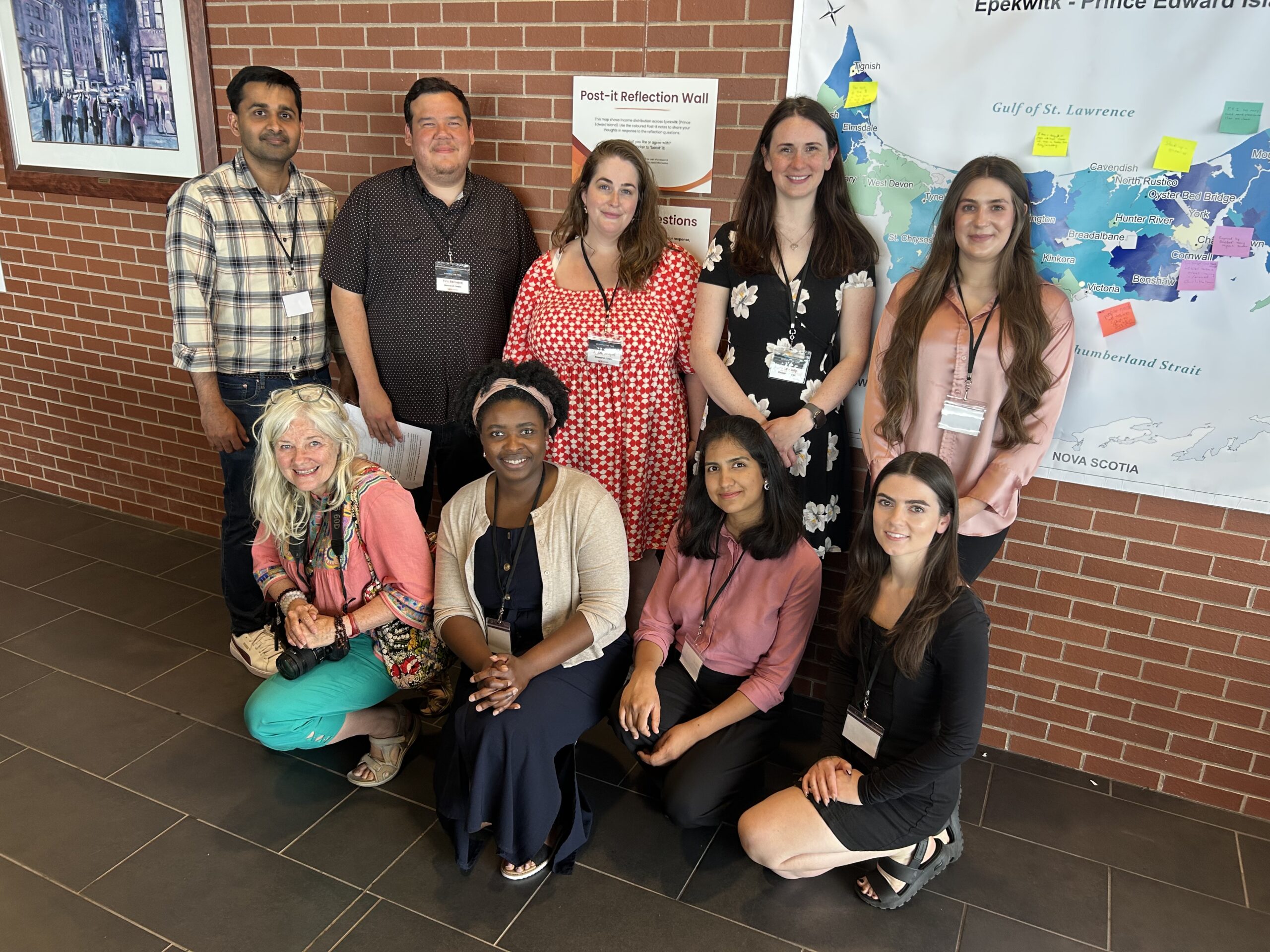
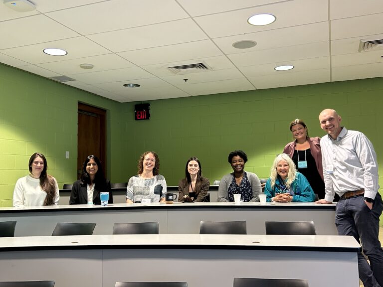
- Partnered with PEI residents: We worked with a Research Advisory Council made up of 8 members of the public to guide our work.
- Mapped Community Data: We used census data to co-design maps that aim to support equity-informed decisions around climate adaptation.
- Created spaces for learning together: We hosted a webinar that targeted PEI community organizations and consulted with decision makers in the municipal and provincial governments to share our work and gather important feedback.
What You’ll Find On This Page
> Story Map on Hurricane Fiona
- Dive into an interactive story map that shows how Hurricane Fiona affected our region. See the data come to life with maps, photos, and key insights.
> PEI Community Climate Adaptation Risk and Resilience Mapping Tool
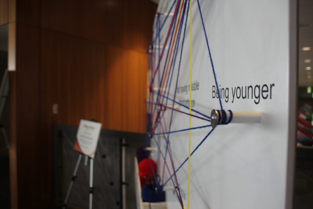
- We’ve created spatial maps highlighting different factors that impact people’s ability to respond to climate change (e.g., age, income, etc.). These maps allow you to explore differences between geographic communities across PEI.
> Watch Our Community Webinar
- Hear directly from members of our team in a recorded webinar discussing our approach to public engagement and co-design of our spatial and story maps. *COMING SOON*
> Final Project Report and Publications
- Dive into our comprehensive report that brings together all of our key findings. Stay tuned for an upcoming manuscript that describes our approach to public engagement in this project.
Why This Matters
This work supports PEI’s climate action priorities, including those emphasized in the Building Resilience: Climate Adaptation Plan and the 2040 Net Zero Framework. These plans highlight the importance of protecting people most at risk, and our maps and data are designed to support this mission.
Making data and maps more accessible can support community climate decisions that are equitable and put the needs of those most at risk at the center.
Project Goals:
- Help decision-makers in government and community use data to support the people who are most affected by climate change.
- Work together with PEI residents and communities to co-create user-friendly maps and tools that support action and resilient communities.
- Center lived and living experience in all phases of the project.
Partners and Support
This project was funded by the Climate Challenge Fund (Province of PEI), and supported by the Maritime SPOR SUPPORT Unit (MSSU) and the Canadian Institutes of Health Research (CIHR).
Contact Us
UPEI Centre for Health and Community Research
550 University Ave, Charlottetown
Prince Edward Island, Canada C1A 4P3
Email: chcr@upei.ca